


0 river Rd Williamsburg, KY 40769
62 Acres Lot
UPDATED:
Key Details
Property Type Vacant Land
Sub Type Residential Land
Listing Status Active
Purchase Type For Sale
MLS Listing ID 1686047
HOA Y/N No
Originating Board Metro Search (Greater Louisville Association of REALTORS®)
Lot Size 62.000 Acres
Acres 62.0
Property Sub-Type Residential Land
Property Description
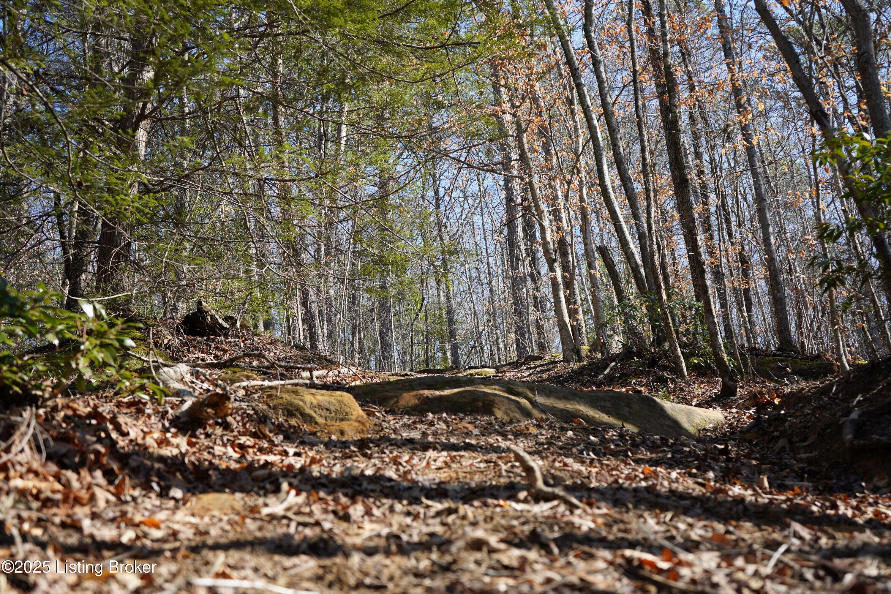
Picture yourself exploring numerous trails, marveling at dramatic rock overhangs, and being captivated by the beauty of cascading waterfalls and meandering creeks. This property is truly an outdoor enthusiast's dream, teeming with wildlife including deer, turkey, elk, bear, and various small game. But the allure doesn't stop there! This unique property adjoins the Daniel Boone National Forest and borders the Cumberland River, granting you access to approximately 50,000 additional acres of public land for hunting, hiking, phenomenal fishing, and endless exploration.
Currently set up for both primitive and traditional camping, this property allows you to embrace the wilderness and escape the stresses of everyday life.
The surrounding area boasts a wealth of attractions, including Cumberland Falls State Resort Park, Laurel River Lake, and Bark Camp Creek, where you can enjoy trout fishing. Additional nearby attractions include the Williamsburg Golf Course, Kentucky Splash Waterpark, and the expansive Big South Fork National River and Recreation Area. Patricks Point River Camp is only about a mile upstream, where you can rent a cabin and enjoy a night's stay right on the riverbank. You can also rent a kayak for a day trip down the river, taking in the beautiful sights and sounds of nature.
Conveniently located approximately 12 miles from Williamsburg-Whitley County Airport and 35 miles from London-Corbin Airport, this property is also within a comfortable 2-hour drive of both Lexington and Knoxville Airports.
This property is truly a rare gem. Whatever outdoor activity you enjoy, there's something for you here.
Location
State KY
County Whitley
Direction The easiest way to direct you to the property is to provide you the coordinates, which you can enter in to your phone. 36.76633, -84.30443 Once you turn on to River Rd. from Hwy 204, you will follow River Rd. all the way to the dead end. Once you get to the dead end, the Daniel Boone National Forest will be on your left and the property will be on your right.
Exterior
View Y/N No
Building
Lot Description Sloped, Rolling Slope, DeadEnd, Will Divide, Wooded, Build to Suit, Survey Available
Sewer None
Water Other, Well
